The best coves and spots on Lake Havasu by boat
Copper Canyon, the Sandbar, Steamboat Cove, Topock Gorge and more: where they are, what they're like, and the rules for each.
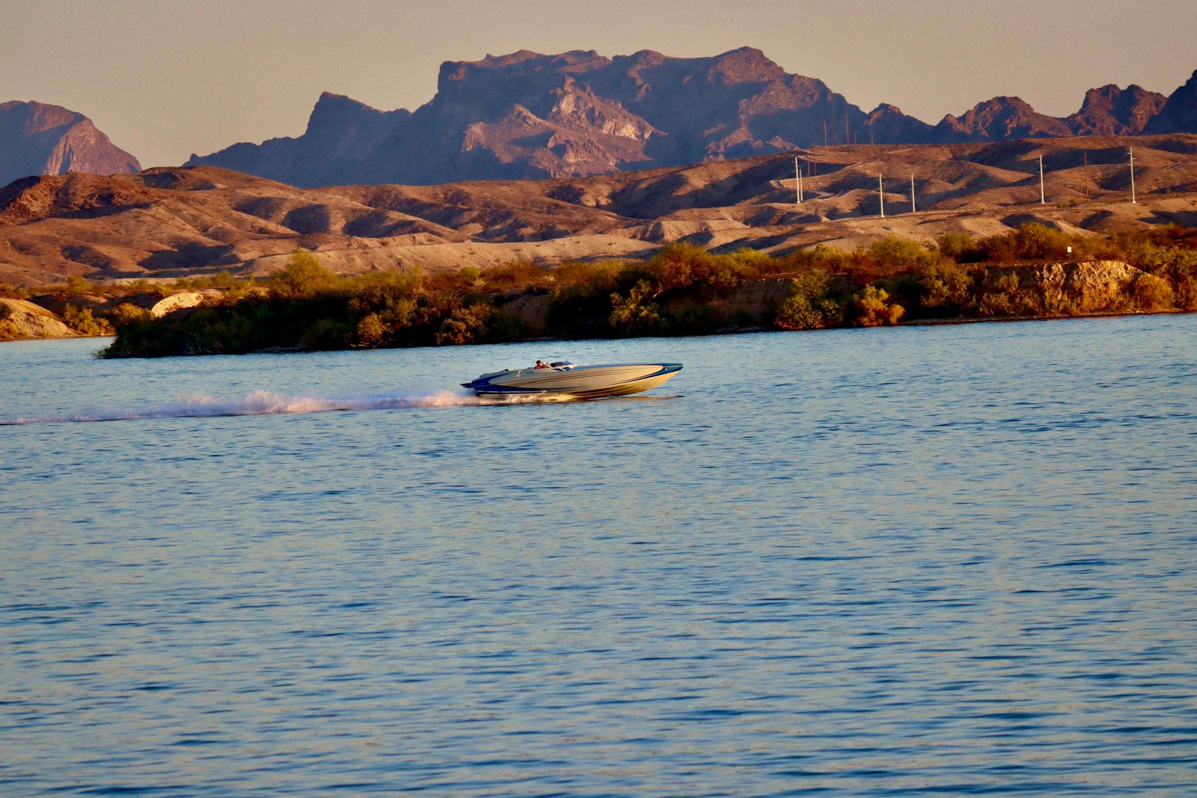
Lake Havasu is about 45 miles of water backed up behind Parker Dam on the Colorado River, with Arizona on the east shore and California on the west. Lake Havasu City sits on the Arizona side, and the Island, joined to the city by London Bridge, is the middle of everything. From there the lake splits into two very different days out: north, where it narrows back into river, and south, where the wide South Basin is full of coves.
Here are the spots worth the run, what each is like, and the rules that apply there. Check the lake weather and wind before you head out. The afternoon wind decides more boating days than anything else.
The Bridgewater Channel and London Bridge
The man-made channel under London Bridge separates the Island from the mainland, and on a summer weekend it's a slow parade of boats, with sandy beaches where you can pull in and restaurants you can boat to. It's the one place everyone ends up.
It's also the most tightly regulated water on the lake. Under Lake Havasu City's rules for the channel:
- It's a no-wake zone (5 mph at most), and traffic keeps to the right, running counter-clockwise.
- No stopping, anchoring or parking where you block traffic, and no swimming in or across the channel.
- No overnight mooring (11 pm – 5 am), no idling while beached, and no boats 36 feet or longer.
- No riding on the bow while moving, and water cannons and water guns are a misdemeanor.
Source: Go Lake Havasu: Bridgewater Channel laws.
Thompson Bay
The bay on the south side of the Island is where boats gather on busy weekends. It's the starting point most distances on the lake are measured from, and there's a marked no-wake zone. If you want to be where the crowd is, this is it; if you want quiet, keep going south.
Copper Canyon
About three miles south of Thompson Bay and reachable only by boat, Copper Canyon is named for its copper-stained rock and an old mine. It was famous as a spring-break party cove where boats tied up so tightly you could walk across them; today it's calmer. Look for the keyhole rock above the entrance.
The entrance is now marked with no-wake buoys and an open lane is kept clear, so go slow on the way in. The cove is managed by the Chemehuevi Indian Tribe (Go Lake Havasu).
Friendly Island
A little over four miles south of London Bridge in Goose Bay, Friendly Island has secluded sandy beaches with an easy drop-off, and it's well protected from wind and boat wakes, so it's a good pick when the main lake is choppy. The Bureau of Land Management runs it, with restrooms, barbecues and shade ramadas, and charges a day-use fee (Go Lake Havasu).
Steamboat Cove
On the Arizona side about a mile south of Havasu Palms, Steamboat Cove is described as the most protected natural cove on the lake: calm water and sandy beaches, reachable only by boat. At sunset, look for the Sleeping Indian, three mountains that make the silhouette of a figure lying down.
Pilot Rock and Red Rock
Further south in the basin, Pilot Rock's pinnacles are a landmark on the lake map, and Red Rock, just north of it on the Arizona side, is known for colorful cliffs and bass and striper fishing (Go Lake Havasu).
Rules at the BLM shoreline sites
Friendly Island, Steamboat Cove, Pilot Rock and dozens of other boat-in sites along the Arizona shore are run by the Bureau of Land Management. The BLM charges a day-use fee per group, and its rules for these sites include:
- The fee applies if you occupy a site, or moor at or near one, for more than 20 minutes.
- No glass containers on land or in the water (inside your boat is fine).
- No fireworks, and quiet hours from 10 pm to 6 am.
- Pets on a leash no longer than 6 feet, and don't tie boats to plants or structures.
The Sandbar
About seven and a half miles north, where the lake turns back into river, the Sandbar is a shallow stretch with a soft sand bottom where hundreds of boats gather on summer weekends. The water here is moving, so have your anchor ready before you pull in, and keep an eye on how you're sitting as the day goes on.
Topock Gorge and the Havasu National Wildlife Refuge
At the far north end, Topock Gorge is one of the last natural stretches of the Colorado River, with red rock walls, bighorn sheep and more than 300 bird species, with petroglyphs at Picture Rock on the Arizona side. It's a different kind of day from the coves: scenic, quiet, and all about the ride.
It's a national wildlife refuge, with its own rules (U.S. Fish & Wildlife Service):
- 25 mph maximum unless posted otherwise.
- About 17 miles of the river through Topock Gorge is closed to towing: no skiing, tubing or wakeboarding.
- Jet skis aren't allowed in the refuge backwaters or on Topock Marsh, and the backwaters are no-wake.
- No overnight mooring, no camping, and no glass containers.
Before you go
- Check the wind forecast. Mornings are usually calm and the wind builds through the afternoon.
- Holiday weekends, especially Memorial Day and the Fourth of July, are the busiest days of the year on the lake, with heavy traffic in Thompson Bay, the Channel and the South Basin. Go early and give other boats room.
- Know the rules on the water: our guide to Lake Havasu boating rules covers life jackets, no-wake zones, towing and more.
Ready to go? See the fleet and check live availability, or call the office and the crew will help you pick the right boat for where you want to go.